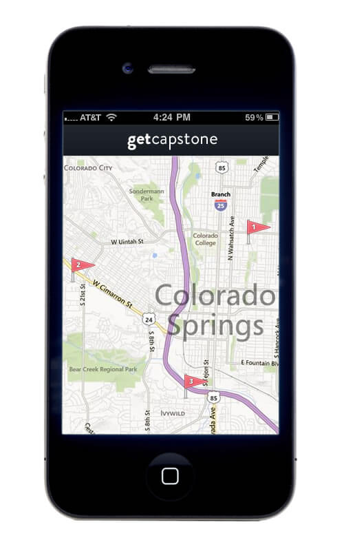
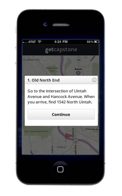
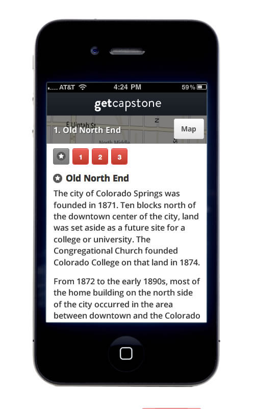
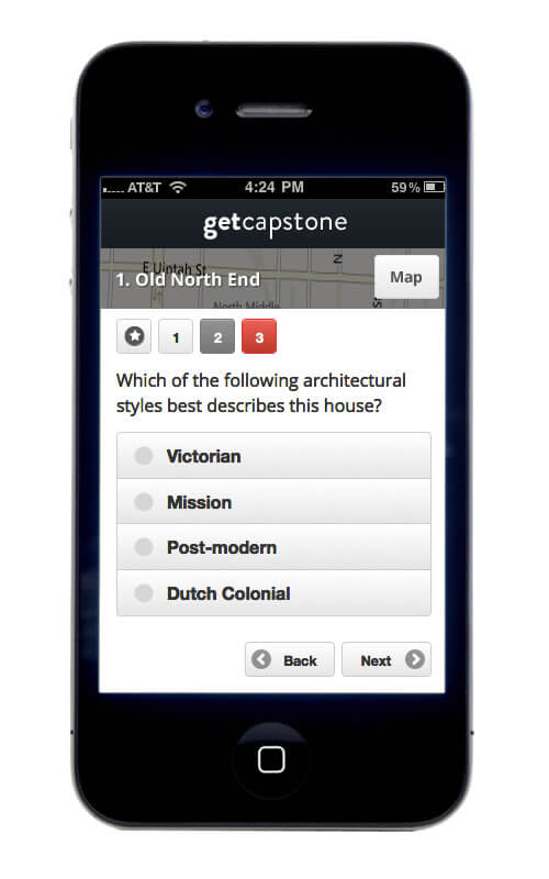
I’ve been working with Tierra Plan and the University of Colorado, Colorado Springs to build a pilot web application that encourages geography students to explore local landscapes. Students will use the interface to follow mapped routes, and along the way they will unlock content and questions to review in specific locations.
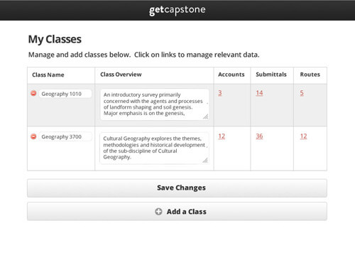
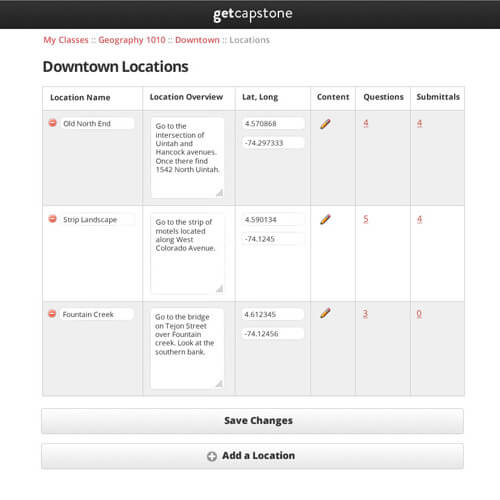
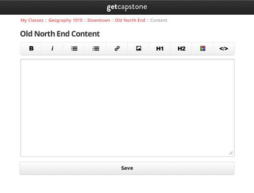
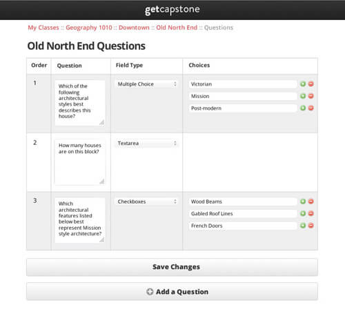
The mobile website uses GIS, ESRI maps, JQuery mobile, and a clean design to guide students. It also has an intuitive admin interface for professors to manage classes, routes, content, questions, students and student submissions.
The tool will be used by the University’s Geography department in Fall 2014. If they find it useful, they will make it available to other departments, such as Anthropology and Ecology.
When I took geography and ecology classes in college, smart phones didn’t exist yet. When I transitioned from environmental studies to multimedia during grad school, the first generation iPhone became available. I was curious about the intersection of landscape and technology, and for my thesis project, I cobbled together a mobile map-based interface for sharing local stories.
Now mobile mapping is commonplace, and bringing this technology into (or rather, outside of) the classroom makes a lot of sense. I guess that is why this project has been so much fun. It makes me almost wish I could go back to school again!
A few screenshots of the mobile interface are below:
And here’s a preview of the admin side: